Log in
All resources
Create a design
Tools
10,854 Free Images of Historic Map
pages with maps
cc-zero
national register of historic places with known ids
architecture
gemeente atlas van nederland - south holland
1860s maps of south holland
vehicle
atlas du canton de paris, 1795
maps of paris from the david rumsey historical map collection
composite map
maps of paris from the david rumsey historical map collection
atlas du canton de paris, 1795
maps of paris from the david rumsey historical map collection
atlas du canton de paris, 1795
maps of paris from the david rumsey historical map collection
atlas du canton de paris, 1795
maps of paris from the david rumsey historical map collection
atlas du canton de paris, 1795
historical images of île de la barthelasse
villeneuve-lès-avignon
turgot map of paris, david rumsey historical map collection – derivative files
historical images of place des vosges
winter
snow
architecture
city
rural
roof
maps of paris from the david rumsey historical map collection
atlas du canton de paris, 1795
maps of paris from the david rumsey historical map collection
atlas du canton de paris, 1795
self-published work
vehicle
vehicle
car
architecture
city
vehicle
car
self-published work
sidewalk
2010 staten island photos by jim.henderson
pages with maps
sidewalk
facade
sidewalk
pavement
self-published work
cc-pd-mark
gemeente atlas van nederland - south holland
1860s maps of south holland
cartes de franz schrader
1894 maps of france
turgot map of paris, david rumsey historical map collection – derivative files
historical images of église saint-sulpice
maps of san juan, puerto rico
san juan bay, puerto rico
skyline
city
maps of paris from the david rumsey historical map collection
atlas du canton de paris, 1795
maps of paris from the david rumsey historical map collection
atlas du canton de paris, 1795
maps of paris from the david rumsey historical map collection
atlas du canton de paris, 1795
maps of paris from the david rumsey historical map collection
atlas du canton de paris, 1795
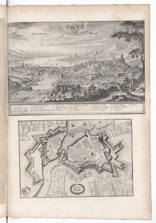
old maps of geneva
baroque
pages with maps
architecture
grigory anikiyevich kachalov
mikhail makhaev
merian mainz trier köln
baroque
a plan of the operations of the king's army under the command of general sr. william howe, k.b. in new york and east new jersey, against the american forces commanded by general washington, from the 12th. of october, to the 28th. of november 1776
old maps of new york (state) from the norman b. leventhal map center
parts of old maps of hamburg
maps of hamburg-altstadt
gemeente atlas van nederland - south holland
19th-century maps of rotterdam
maps from the mechanical curator collection available to georeference
maps from the mechanical curator collection
gemeente atlas van nederland - south holland
1860s maps of south holland
gemeente atlas van nederland - south holland
1860s maps of south holland
maps in the library of congress
old maps of connecticut
maps showing history of the early middle ages
charles the bald
maps by thomas kitchin
andrew dury
gemeente atlas van nederland - south holland
1860s maps of south holland
topographia westphaliae (merian)
baroque
historical images of somalia
fra mauro map details
historical images of rapperswil-jona
topographischer atlas der schweiz
gemeente atlas van nederland - south holland
maps of heerjansdam
gemeente atlas van nederland - south holland
1860s maps of south holland
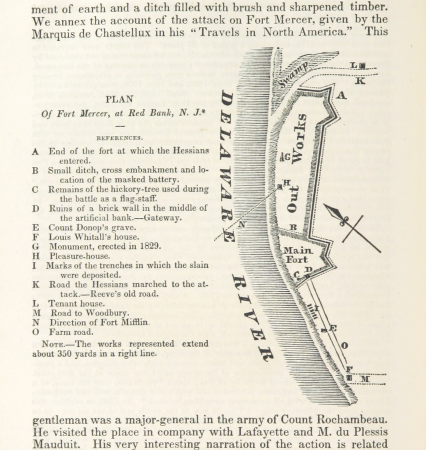
19th-century maps of new jersey
maps of the delaware river
david rumsey historical map collection
andrew dury
david rumsey historical map collection
17th-century maps of iceland
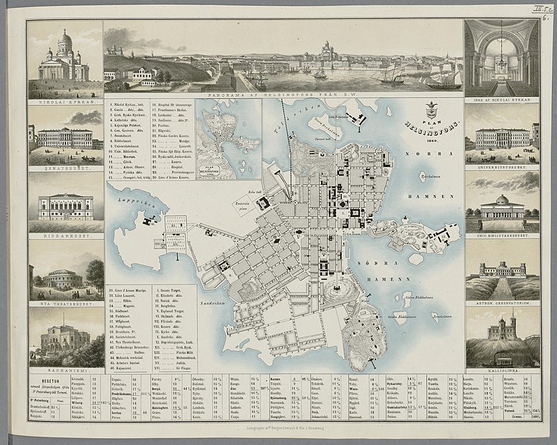
media from the national library of finland
classicism
gemeente atlas van nederland - south holland
1860s maps of south holland
gemeente atlas van nederland - south holland
old maps of eiland van dordrecht
1673 in new york city
24 august
gemeente atlas van nederland - south holland
strevelshoek
turgot map of paris, david rumsey historical map collection – derivative files
historical images of the hôtel des invalides
hamburg in the 16th century
maps of hamburg-altstadt
gemeente atlas van nederland - south holland
1860s maps of south holland
gemeente atlas van nederland - south holland
1860s maps of south holland
turgot map of paris, david rumsey historical map collection – derivative files
historical images of bièvre river in paris
self-published work
vehicle
architecture
village
self-published work
inside
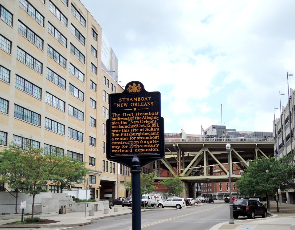
downtown pittsburgh
city
vehicle
car
vehicle
car
architecture
city
self-published work
pages with maps
village
town
self-published work
pages with maps
self-published work
architecture
vehicle
car
animals
cat
sculpture
maps
self-published work
architecture
grass
lawn
travel
city
self-published work
lawn
self-published work
pages with maps
2010 westchester county photos by jim.henderson
pages with maps
self-published work
vehicle
architecture
double door
architecture
city
architecture
town
self-published work
pages with maps
self-published work
pages with maps
self-published work
architecture
garden
tree
self-published work
vehicle
architecture
city
architecture
city
architecture
facade
vehicle
car
vehicle
car
2010 bronx photos by jim.henderson
pages with maps
architecture
facade
self-published work
architecture
gemeente atlas van nederland - south holland
1860s maps of south holland
gemeente atlas van nederland - south holland
1860s maps of south holland
4601 - 4700 of 10,854
Next page
/ 109